Student Center
The Ohio Auditor of State’s Office is the custodian of records related to public lands.
Ohio Lands Book
Ohio holds a unique place in U.S. public land development, having experienced the most varied original land survey systems of any state.
As the first state formed out of the public domain, Ohio was the social laboratory in which Congress worked out not only the basic Federal Rectangular Survey System, but also first applied the basic elements for moving a portion of the public domain from wilderness to statehood.
Central to the statehood-making process was the rational system of land division worked out in Ohio, and it is the story of that development that we turn to in these pages. In any story about the land, it is important to know the people who inhabited it, and so we turn first to Ohio’s earliest inhabitants.
Along the Ohio Trail
Ohio, the 17th state of the United States, holds a unique place in U.S. public land development, having experienced the most varied original land survey systems of any state.
Long ago the Iroquois people named the river that forms the southern and eastern boundaries of our state. They called the river a word that sounded like “O-Y-O,” meaning “great water.” When Europeans heard the word “O-Y-O,” they turned it into the word we used today: Ohio. Soon the entire area north and west of the Ohio River was known as Ohio Country.
Our state is an important one in this nation. As you will learn, most of the land areas that became states of the U.S. were patterned after Ohio.
Activity Sheets
Below is a variety of fun coloring and activity pages for kids from AOS. Download or print them for free.
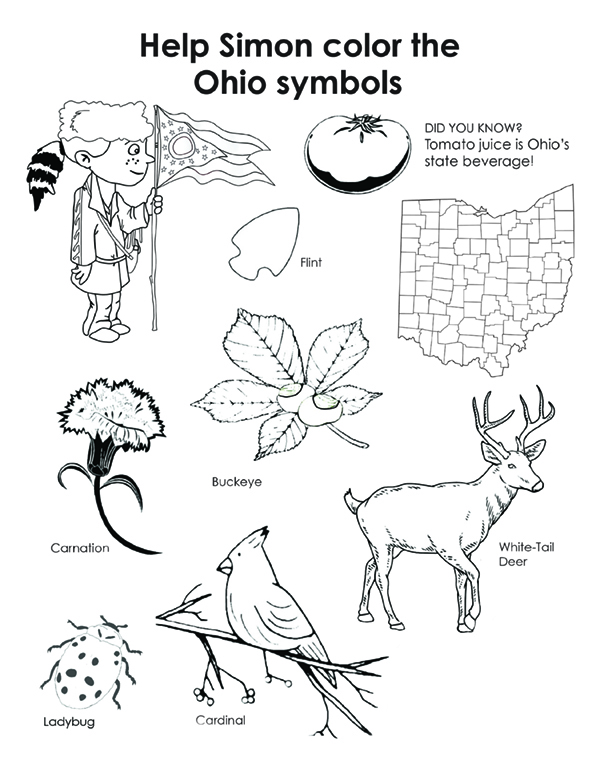
Color the Ohio Symbols
Print page (PDF, opens in new tab)
Color the Flag
Print page (PDF, opens in new tab)